What Happened on the 15 Freeway Today Near San Diego, Ca?
An honest answer about today's I-15 incidents near San Diego: why no travel site can report them reliably, where to check live instead, and how to route around the freeway.
What Happened on the 15 Freeway Today Near San Diego, Ca?
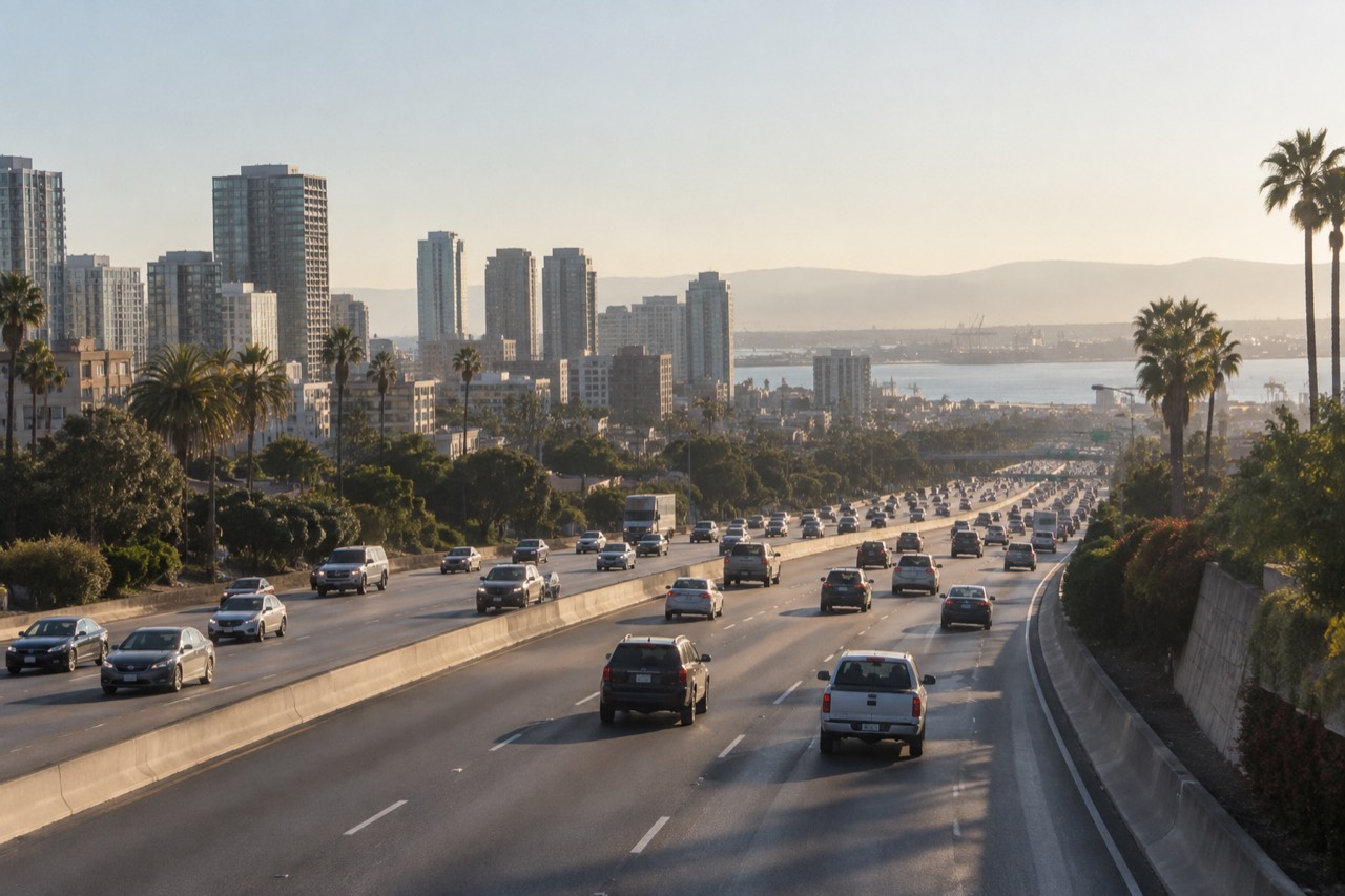
The honest answer is that no published article can tell you, and any page that claims to is guessing. Freeway incidents are live events: a rollover near Miramar, a stall at Rancho Bernardo Road, a SigAlert that clears in forty minutes. By the time anything is written, edited and published, the situation on the pavement has usually changed. What a good local page can do is point you to the live sources, explain how the freeway fits into a visitor's plans, and give you a fallback for the day. That is exactly what this one does, and it starts with where the 15 actually runs.
Interstate 15 is the main north-south artery through inland San Diego County. It runs from the junction with Interstate 8 in Mission Valley up through Tierrasanta, Mira Mesa, Rancho Bernardo, Escondido and Temecula, and south of Interstate 8 it drops through National City toward the border region. When something happens on it, the ripple touches commuters, visitors driving in from Riverside County, and anyone headed to places like Julian or the Safari Park, both of which sit beyond the freeway's reach but are usually reached through it.
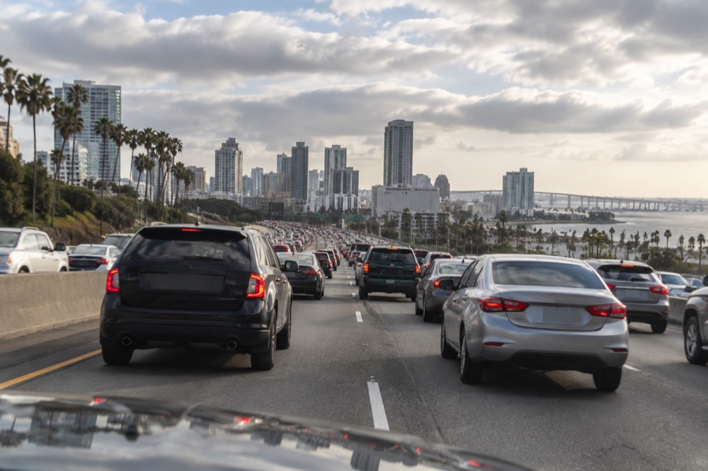
The question itself is one of the most searched traffic queries in the county, which tells you something about how often the 15 misbehaves. The searches spike on weekday mornings and Friday afternoons. The answers people need are almost always one of three things: a crash, a closure, or a lane-blocking stall. The rest of this page explains where each of those shows up first, and what to do about it.
Where Can You Check Live I-15 Incidents Right Now?
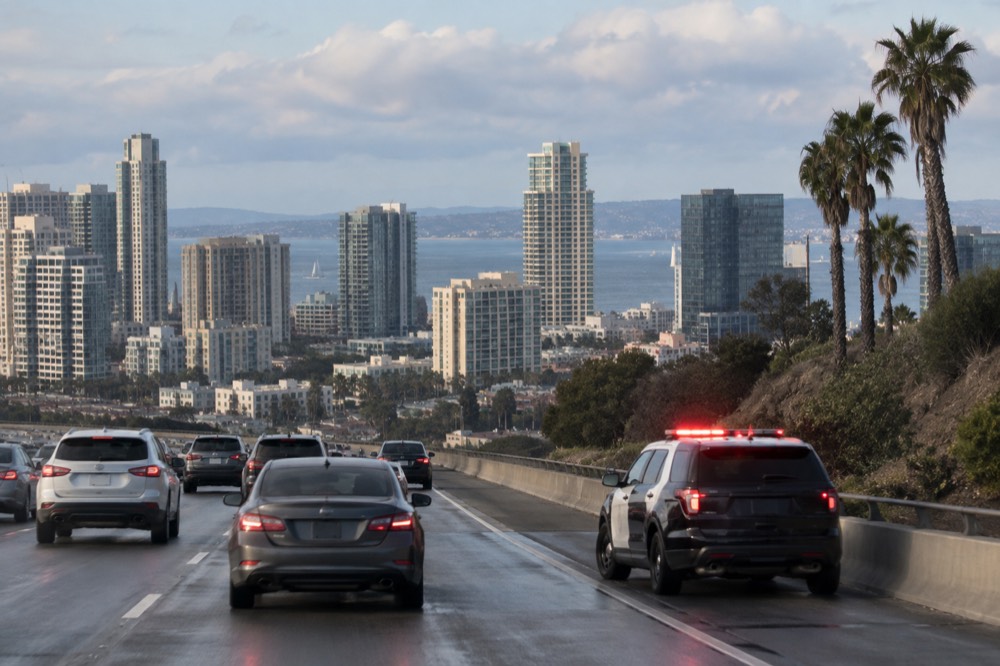
The fastest live sources are the California Highway Patrol's incident feed, the Caltrans traffic map, and local news traffic desks, in that order of speed. The CHP logs every call it dispatches in real time, including the log number, the type of incident and the cross street. Caltrans maps show lane closures, chain control requirements and planned construction, which the CHP feed does not always separate out. Local news adds the pictures and the context once a reporter is on scene. None of the three is hard to use, and together they cover everything from a fender bender to a full closure.
The reason a travel site like this one does not republish those feeds is simple: they are live data, and a copied snapshot goes stale within the hour. A page that says "a three-car collision closed two northbound lanes near Fairgrounds Drive" is only true until the tow trucks leave. The county's own beach closure postings have the same problem, which is why this site links readers to the live county page rather than mirroring it. Live data belongs to the agency that maintains it, and the best a published page can do is send you there quickly.
Here is how the main live sources compare for a visitor trying to answer this question:
| Source | What it shows | How current | Best for |
|---|---|---|---|
| CHP incident log | Dispatched calls, crash type, cross street | Real time | "Is there something on the 15 right now?" |
| Caltrans traffic map | Lane closures, construction, chain controls | Near real time | Planned closures and overnight work |
| Local news traffic desk | Reported stories with photos and video | Minutes to hours | Major incidents and closures |
| Navigation apps | Your route's live speed and rerouting | Real time | Deciding which road to actually take |
One practical note: if you are already driving, do not check any of these. Set the navigation app before you leave, or let a passenger handle it. The navigation app matters most anyway, because it does the one thing a news feed cannot: it reroutes you around the problem automatically, and its speed data updates every few seconds.
How Do You Get Around San Diego Without the I-15?
For almost everything a visitor actually comes to San Diego for, the I-15 is optional, because the attractions cluster along the coast and downtown, not inland. Balboa Park, the Zoo, the USS Midway, the Gaslamp Quarter, La Jolla and Coronado are all reachable on surface streets, the Trolley, or both. The 15 mainly matters if you are driving down from Riverside or Temecula, headed inland to the Safari Park, or commuting through Mission Valley. If your hotel is downtown or near the bay, you can go days without merging onto it at all.
If an incident has the freeway jammed and your destination is a coastal one, the usual move is to stay on Interstate 5 and accept a few extra minutes. If you are staying downtown, you can often skip driving entirely. The MTS Trolley runs on a simple fare: $2.50 one-way with two-hour transfers, or a $6.00 day pass, and the fare chart is published by the transit agency at the official MTS fare page. With the PRONTO system, contactless rides cap automatically at the day-pass value, so there is no reason to buy a pass up front.
For visitors, the cleanest way to see the city without touching a freeway at all is a guided loop. The hop-on hop-off trolley runs for two days and covers downtown, Balboa Park and the waterfront on narrated loops, so a freeway incident anywhere inland simply stops being your problem. The two-hour GoCar tour covers downtown with an Old Town or beaches route, and the Balboa Park walking tour with a local guide keeps you entirely on foot inside the park. All three stay west of the 15's corridor. Everything else covered here is indexed on Things to Do in San Diego.
Parking downtown carries its own rules, and the city's meter policies changed under recent reforms, so Sunday is no longer free everywhere. The details, including the downtown rate and enforcement hours, are on the city's parking FAQ page, and this site keeps a fuller rundown in the San Diego parking guide.
Does an I-15 Incident Actually Ruin a San Diego Trip?
Almost never, because the things visitors plan around, the Zoo, the Midway, the beaches, the harbor, sit off the freeway, and the trips that do need the 15 have workarounds. The exception is if you are driving in from the north or headed to inland destinations like Escondido, the Safari Park, or Temecula wine country. Those runs put you on the 15 for long stretches, and a single stall in the wrong lane can add an hour. Even then, the fix is usually timing rather than cancellation, and most itineraries absorb a bad traffic day without losing anything that was paid for.
If your day is downtown-focused, an incident on the 15 is background noise. Downtown, the Embarcadero, Seaport Village and Little Italy are all walkable or a short Trolley ride apart, and the getting around San Diego guide covers the transit and rideshare options in full. The one thing worth knowing in advance is that there is no Trolley station at the airport, so the airport runs are the bus on Route 992, the free San Diego Flyer shuttle to Old Town, or a rideshare.
The hop-on hop-off trolley deserves a specific mention here, because it solves the exact problem this page is about. It runs for two days on a narrated loop through the downtown core, which means that even on a day when the freeways are a mess, your sightseeing continues without you ever merging onto one.
For an inland-bound day, timing matters more than routing. The heaviest freeway traffic runs weekday mornings toward the coast and weekday evenings back inland, plus the Friday afternoon escape north. Leaving outside those windows, or checking the live feeds before you go, does more for your drive than any shortcut. And if the answer to "what happened on the 15 today" turns out to be a closure with no reopening time, the honest move is to change the day, not the route.
What Should You Do Before Driving the 15 in San Diego?
Check the live CHP and Caltrans feeds before you leave, set your navigation app to reroute automatically, and build a buffer into any timed reservation. That is the whole playbook, and it takes about fifteen minutes. A timed ticket, a tour departure or a dinner reservation on the far side of a stalled freeway is the scenario that actually costs people money, and a quick check beforehand prevents nearly all of it. The buffer matters most: a freeway that looks clear at nine can be stopped by ten, and the reservation you cannot move is the one that stings.
It is also worth knowing which of your plans touch the freeway at all. A coastal itinerary, La Jolla, Coronado, Pacific Beach, downtown, barely uses the 15. An inland one, the Safari Park in Escondido, Temecula wine country, or a drive up to the mountains, uses it heavily. If you have both kinds of day on your trip, put the inland day on a weekend morning when traffic is lightest, and keep the coastal day flexible, so a bad traffic day costs you a beach afternoon rather than a booked tour.
Those three tours, the trolley loop, the GoCar route and the Balboa Park walk, are the reliable fallbacks on a day when the freeways misbehave. None of them requires a car once you are downtown, and all of them run through the parts of the city this site covers in depth. If an incident on the 15 has already eaten your morning, a guided loop is the rare plan that improves with a late start, since the trolley's two-day validity means you can finish the route tomorrow.
Common Questions About the I-15 in San Diego
what happened on the 15 freeway today near san diego, ca?
No article can answer that honestly, because incidents change hourly. Check the California Highway Patrol's live incident log or the Caltrans traffic map for real-time information, or let a navigation app reroute you around whatever is there.
Is the I-15 usually congested near San Diego?
Yes, on weekday mornings and evenings and Friday afternoons, especially through the Mira Mesa and Rancho Bernardo corridors. Outside those windows it flows well. Live conditions vary, so check a traffic map before a timed drive.
Can I visit San Diego attractions without using the I-15?
Yes, easily. Balboa Park, the Zoo, the USS Midway, the Gaslamp Quarter, La Jolla and Coronado all sit west of the freeway's corridor and are reachable on surface streets or the Trolley. The 15 mainly matters for inland trips to Escondido or Temecula.
What is the best alternative route if the 15 is blocked?
For coastal destinations, Interstate 5 is the usual alternative. For downtown trips, consider skipping the freeway entirely and using the Trolley, whose fares run $2.50 one-way or $6.00 for a day pass.
Does a freeway incident mean I should cancel my plans?
Almost never. Rebook anything timed if a closure has no reopening estimate, otherwise reroute or shift to a coastal day. A hop-on hop-off trolley ticket valid for two days gives you a full day of flexibility if your morning disappears into traffic.